Day 12: Storey Arms to Llyn y Fan Fawr – Making up lost ground
That “night in” did me a power of good, especially as I’d arrived at camp fully laden with water and early enough to simply chill out and enjoy being at camp, with none of the pressures of the previous night’s desperate last minute hunt for drinkables. But I still awoke to the knowledge that I had ground to make up today. Several bands of rain had pounded the tent during the night so I unzipped with pretty low expectations as to conditions, and then being proved correct in my guess.
For breakfast I tried the Fuizion Chocolate Orange Rice Pudding that I’d so looked forward to, and had been saving for the last morning of this leg. It was absolutely horrid, although that was in part due to not reading the instructions and putting too much water in, as well as a failure to adequately break up all of the lumps. Assuming it would have been ok but for my preparation fail, I have another in my Llandovery food parcel so can see if it is me or if it is actually horrible.
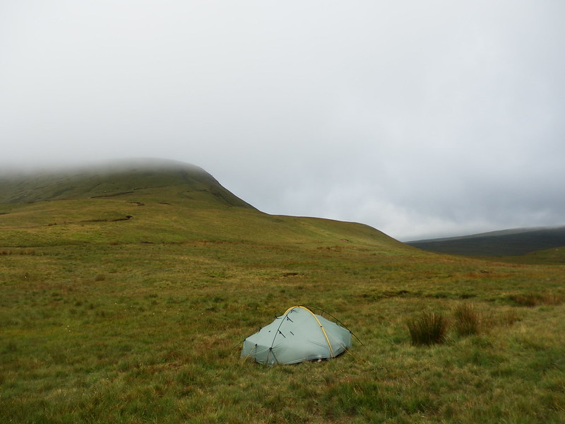
It was a slow start – conditions not being that inspiring and wanting to eke out the camp, I put off leaving for a while. Eventually, a pause in the rain spurred me into action and I broke camp pretty quickly, packing the inner (dry) and outer (soaking) separately. A short way away I spotted an orange pyramid tent and the mystery of the late night voices was solved.
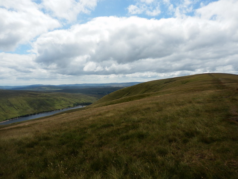
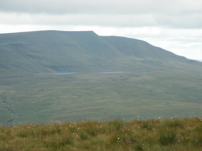
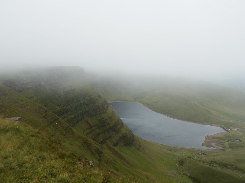
I climbed up into the curtain of mist veiling the top of Fan Fawr, with the occasional look back to the reservoir below.
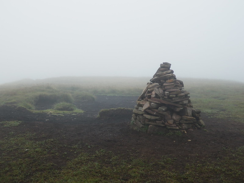
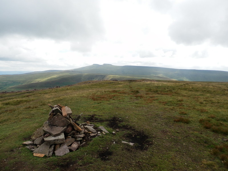
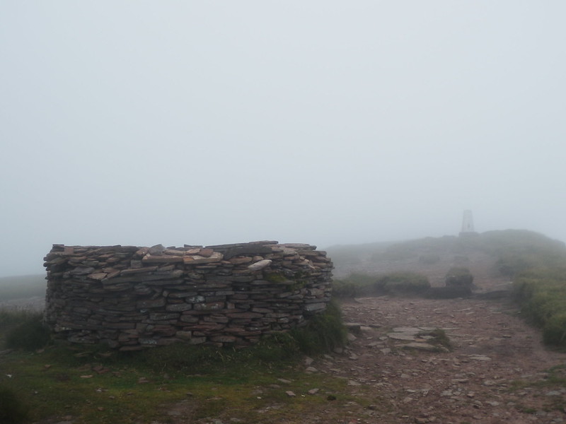
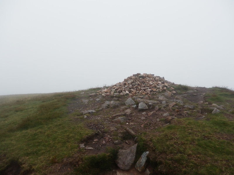
I reached the summit cairn, with little to see in any direction. This was a job for the compass. Looking for a north-westerly route down, I found a path leading just a tad west of it, but not worried as paths often meander a bit. By the time I was below the mist, I could see that it was the wrong one. On the plus side it was a decent path, proved by a fell runner blasting past me.
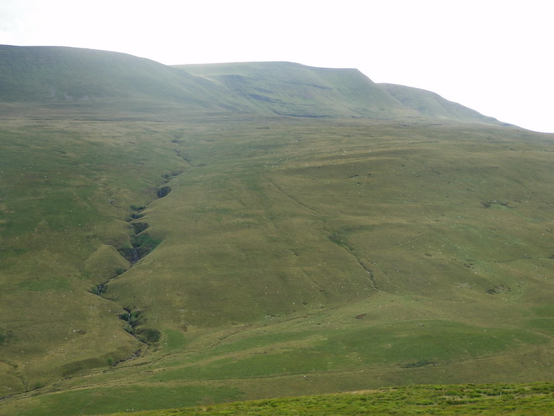
I ended up a bit lower down than I’d intended, crossing Nant Mawr in a deep gully, rather than at the col as originally intended. I took a slanting route to recover the lost height whilst at the same time making some progress towards my next objective – Craig Cerrig-gleisiad. Views over towards Fan Llia and Fan Gyhirych also started to open out.
After a bit of patient work, I reached the underwhelming summit of Criag Cerrig-gleisiad and with the clouds now having lifted got good views in all directions.
I mulled over whether to do the out and back trip to Fan Frynych and the fact that if I didn’t it would leave an odd one out pretty much clinched it. However, some quick mental sums also revealed that I wouldn’t have much time to play with in today’s long schedule as a result. It turned out to not be much bother at all.
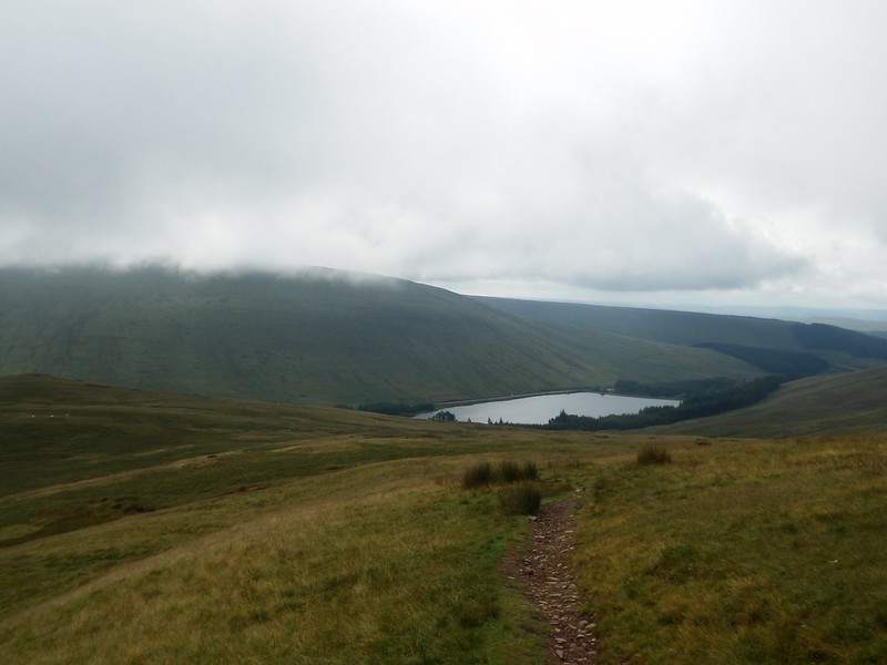
I returned to the col and picked up the Beacons Way, finding myself on Cefn Perfedd in half an hour and looking over my shoulder seeming to have made a good deal of distance in that time. It seemed to take ages to walk out over Fan Dringarth to Fan Llia though, but I arrived around 1pm as I’d calculated. However, it had taken me 4 hours to get here – last night’s original intended camp site. This just helped settle a feeling that once again I’d being a bit too aggressive with my schedule.
Below me to the east was some obvious glacial detritus as well as a view of the Ystradfellte reservoir, so I stayed to enjoy these a bit longer.
Lunch break over and having concluded that I needed to sacrifice some of my planned tops if I were ever to make it to tonight’s planned camp spot – somewhere I’ve wanted to camp for ages – I got going. The descent down the flank of Fan Llia to Maen Llia was nowhere near as bad as the description in the Cambrian Way book led me to believe it would be, the worst bit being crossing the wet ground on the valley floor.
By now I’d decided to jettison Fan Nedd in the interests of time, and feeling that the day was tough enough as it was, so I climbed up to join the path contouring around the mountain towards Fan Gyhirych. This turned out to be quite pleasant and gave me lingering views back towards the hills of earlier in the day.
This whole section of the route is one I’d been apprehensive about as the guidebook cautions against crossing the Cnewr Estate during lambing time – and if I’d managed to continue last year, that would have coincided with lambing. Historically, the Cnewr Estate has conducted lambing on the open hillside, not having suitable fields close to the valley, and this resulted in some restrictions. Accordingly, all of the detailed planning I did last year for this part of the route involved the detour down Sarn Helen towards Ystradfellte and the cross-country walk to Glyntawe, thereby avoiding these hills entirely. What this meant now was that I’d not done a lot of work on the high level route I was now taking, other than turning up with a preconception of not being welcome.
It turned out to be fine, but in various small ways I got the sense of being tolerated rather than welcomed on the estate. A preponderance of barbed wire and lack of signage and the feeling of hidden eyes watching me all the way.
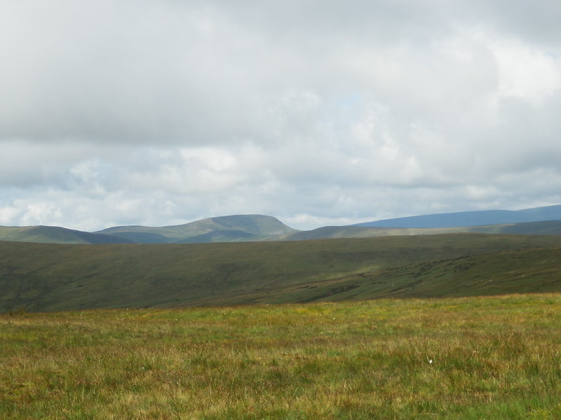
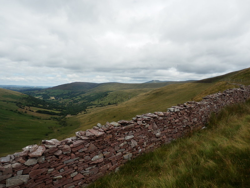
I reached the bwlch and climbed up to join a good track that took me within 60m of ascent of the top of Fan Gyhirych. Having decided to also omit Fan Fraith (I could pair this with Fan Nedd on a future walk easily enough), I now climbed steeply up onto the summit, where the previously distant Carmarthen Vans now came into much starker view.
The next descent was something the book had given real cause for concern about, making a direct descent west to the road sound like a viable entry for a Darwin Award, suggesting instead following the ridge down south for a way before cutting back below the crags. I attempted to do this, but still found the ground quite steep, and especially so on the last bit when I felt I could almost reach out and touch the road. It’s never entirely comfortable undertaking a steep descent on a grassy hillside with a full backpacking load. But I reached Bwlch Bryn-rhudd as planned. Now just one more hill to climb over before I was genuinely heading for camp. A shame my legs were starting to run out of go.
I made heavy work of the walk up the flank of Cefn Cul, another example of Cnewr Estate indifference to me being observed in the form of a roadside waymark that made it unclear whether following the track or a clear direct sheeptrack over the hill should be followed. I took the sheep track. At the top, reached with relief as this was ascent that was effectively for nothing and would be quickly surrendered, I could see across to my intended camp site. This helped no end with the motivation to finish the day.
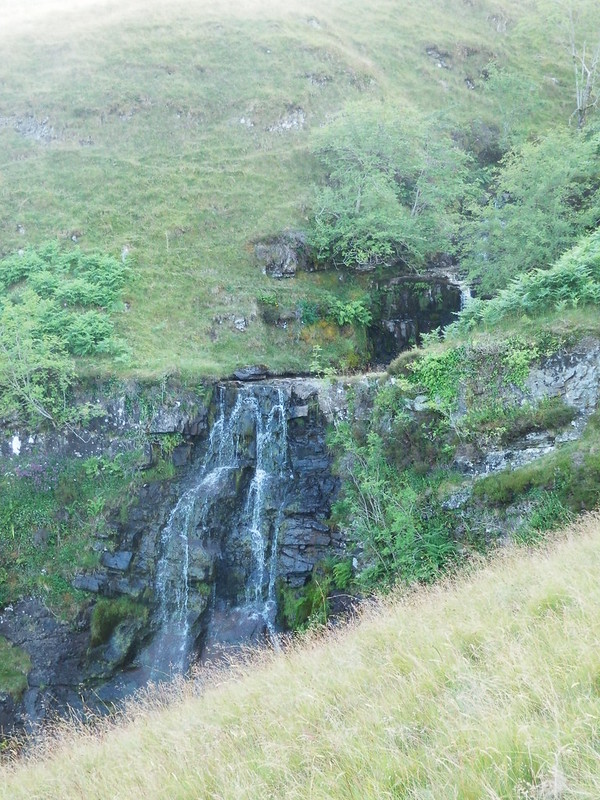
I got down from Cefn Cul, crossed the road and knew I just had a relatively straightforward drag up alongside a very prominent stream before I reached camp. Despite the lack of oomph left in my legs, my main concern was now that I’d arrive at the llyn and find others there, so as I climbed I looked for contingency spots close to the stream, noting several that I’d use if I had to.
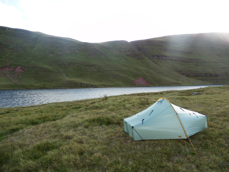
I approached the lake, expecting to find a horde of people there, and to my relief spotting just one yellow tent tucked away below Fan Brycheniog on the far side. That was ok, but that meant staying at this end of the llyn so as to not freak them out like I did to the guy on the train.

I explored the environs of the llyn, looking for somewhere out of the north-westerly that was blowing across the area without obscuring the views too much. Being right below Fan Brycheniog, I didn’t expect sunset to be much more than a bit of a glow above the mountain, so I concentrated on positioning for sunrise, finding a spot with a bit of shelter, out of sight of the other tent and with a good view all the way back to Pen y Fan.
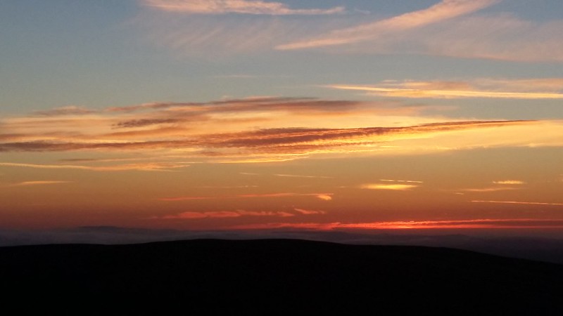
After my misadventure with the Fuizion “breakfast” (which was technically a dessert), I risked the Fuizion chilli which was sublime, having remembered to (a) break the lumps up beforehand and (b) read the instructions. A few orange-tinged clouds over the mountain were all I saw of sunset, so I got my head down for a relatively early night in the hopes of a decent sunrise.
Day 13: Llyn y Fan Fawr to Llandovery – On my last legs
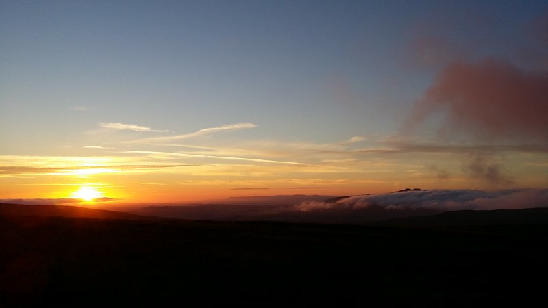
A treat awaited me when I unzipped Monica’s east door – stripes of orange streaked across the early morning sky. As more light flooded into the scene, I became aware of a bank of cloud trying to sneak up the valley from the south. It ruthlessly amputated the top of Pen y Fan in the distance and carried on its way as if drawn to the rising sun like a beacon.
After yesterday’s long grind to get here, I knew I had a day that was actually slightly longer today, and I doubted I had enough in the tank to do it, so I decided to shorten the route for today by not going via the Llandeusant hostel that was only part of the planned route because I’d thought I might have to overnight there at some point last year. This meant I could take a route over the moors that would keep me high and so avoid some reascent too.
But first I had to get over Fan Brycheniog and the other summits, and there was no avoiding them as Fan Brycheniog is one of the official checkpoints on the Cambrian Way. I was walking by 8:15, climbing up as the mist rolled in to make staying put a little less attractive anyway.
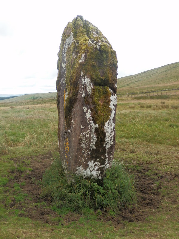
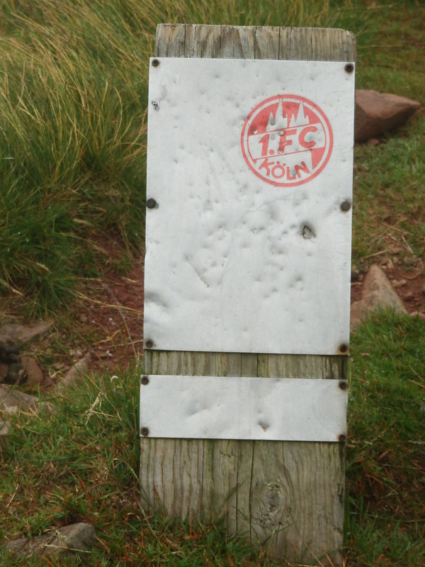
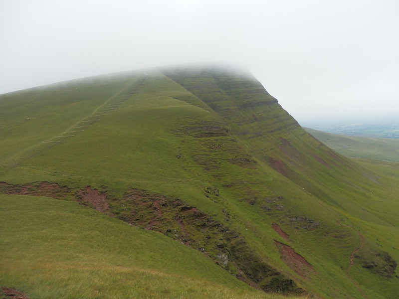
A short sharp pull up onto the mountain brought me to the col and I turned left for Fan Hir, aiming to bag this as I was in the vicinity. This consisted of a sequences of gradual rises up onto false summits which looked more impressive than they were due to the mist. Eventually, I seemed to be at a point that I couldn’t go any higher from and where the path seemed to be going more properly down, so I called it. I retraced my steps to the bwlch and up onto Fan Brycheniog proper, passing a German sign I couldn’t figure out the purpose of.
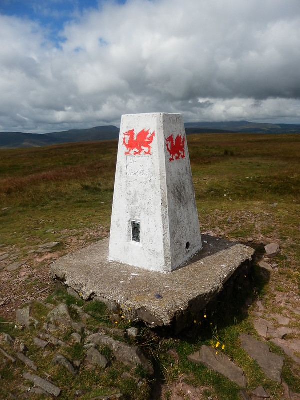
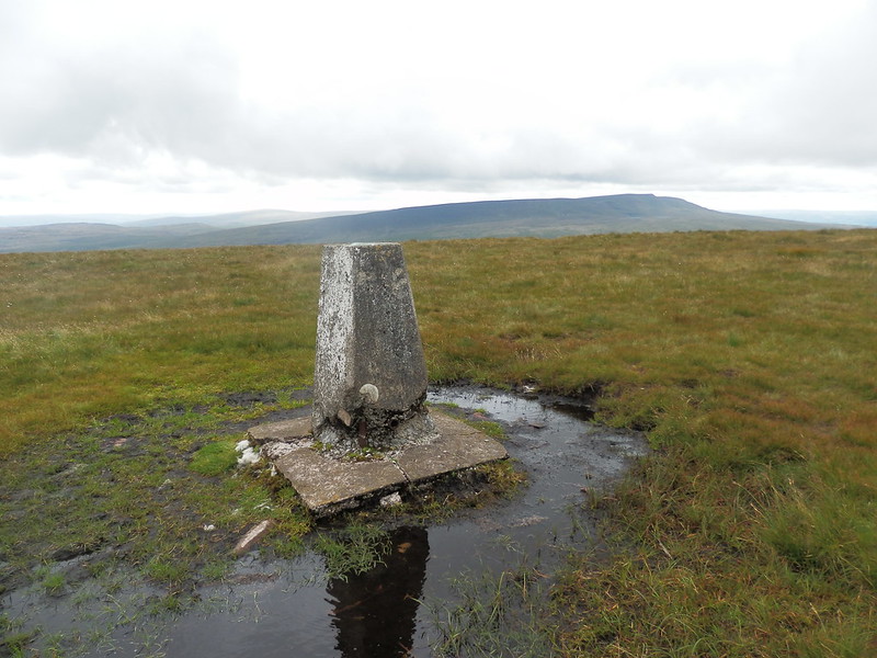
Soon I was at the shelter with the trig a few yards further on. Not much to see and the mist wasn’t helping the temperature either so I opted for only a brief pause to scoff a cereal bar before continuing to the proper summit cairn of Fan Foel. A short way beyond that was Twr y Fan Foel and the end of the ridge – or at least of the summit ridge. Out came the compass again as I looked to walk down to the bwlch with Picws Du rather than end up heading down of the hill.
I began the climb up onto Picws Du taking the newly emerging path to the left of the fenced off repair zone.
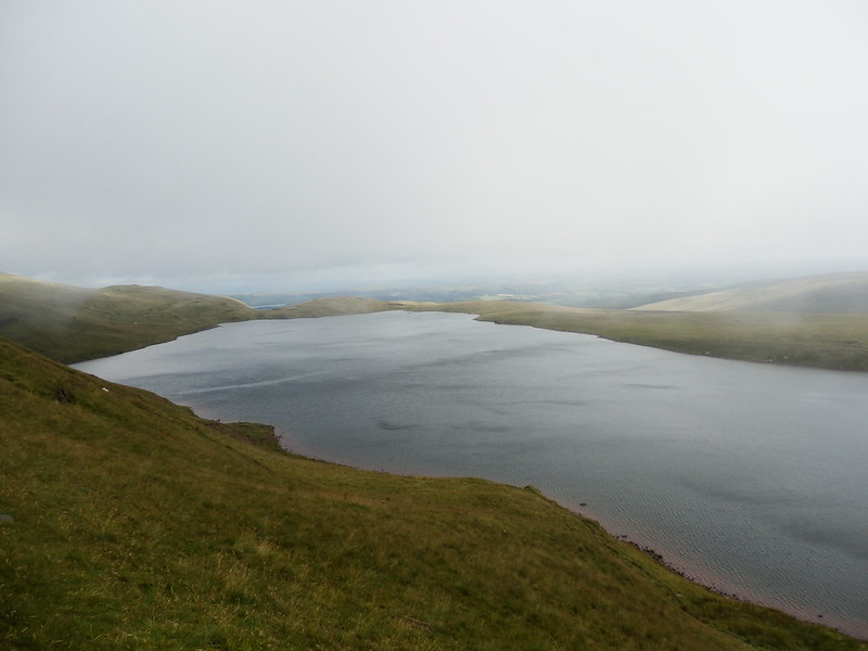
On the top the first people I’d seen so far – 5 lads bounding along happily in the mist – but not much else to see. I carried on down to the next bwlch. As I reached the bwlch, the first views of Llyn y Fan Fach appeared, allowing me to judge how far I had to go and how long it might take.
Waun Lefrith in the mist was one of those infuriating hills that seems to go on for ages without actually arriving and I came across the summit almost by accident, given that it is a little way off to the left of the path. The plan now was to take the ridge down to Llyn y Fan Fach and then find a way across the moor. I started the descent keeping my eyes open for the point at which the path I wanted split from the Beacons Way, but somehow not noticing it anyway.
I got down to the 550m contour and a point that didn’t seem quite close enough to the edge, so started worrying that I’d veered off. I shouldn’t have worried as a few moments later it became perfectly obvious that I was where I needed to be – out of the mist, a view of the llyn and the ridge I was on curving down to it.
The mist hadn’t stopped people from getting out, and a short way on I came across a French couple in unprepared tourist mode – souvenir stand ponchos and the back of a leaflet with a one inch square map. A conversation ensued where I in my pidgeon French and they in their pidgeon English tried to make ourselves understood. The French lesson where I learnt the names of the weather came in particularly useful at this point, pointing out the large quantities of “vent” and “pleut” in evidence.
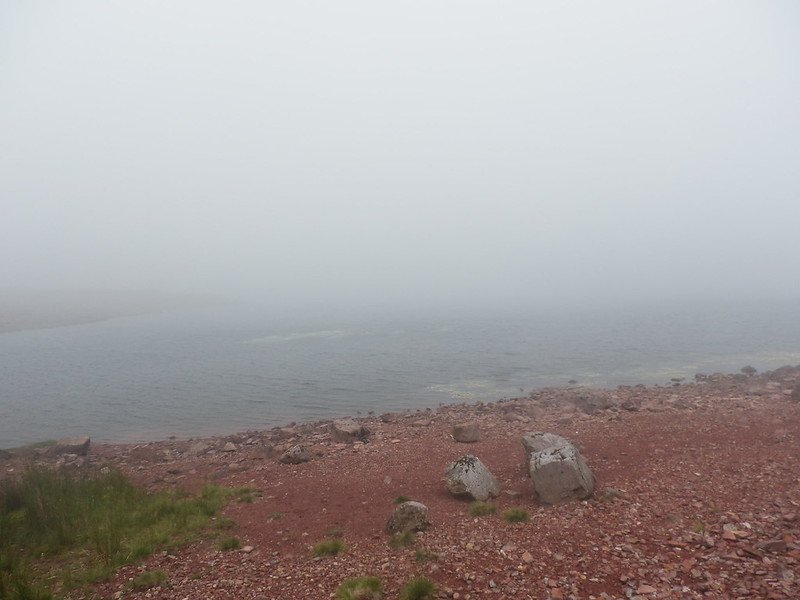
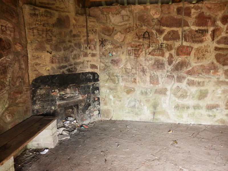
I arrived at the llyn, underwhelmed by what I saw in these conditions, and opted instead for a sit in the little house that forms the rescue shelter there. This also allowed me to assess my options. The mist was still a bit low to make forging a route across a largely pathless moor for several miles a good idea. But on the other hand I didn’t want the road walk or to descend all the way and then reascend almost as far onto the next hill. I opted for a plan that would see me descend a little way down the track (to around 350m height) and then contour around a couple of slopes to rejoin a path that would take me over to the road I had to cross at Bylchau Blaenclydach.
The descent down the track was ok and I got to the weirs that I’d designated as the point to go off path, then struck off along sheep tracks that did their usual job of initially looking like human paths before evaporating further on. I crossed the Nant Coch fine, saw the climb I would need to do alongside Sychnant, and tried to gain some height now rather than all in one go. This was only partially successful and when I came in sight of the deep ravine housing Nant Melyn, I could see it was for nothing. I could by all means gain height now if I was prepared for a big jink to the right to get around the ravine. Or I could bite the bullet and climb down to the stream and cross it here. I chose the latter, losing the 50m or so of work already done.
By now I was sensing that this cut across was going to be harder than it looked, but all seemed ok as I rounded the next bit, crossed Sychnant and found myself on a proper path – the one I’d aimed for. This took me up to a point it supposedly crossed the main path from Fan Foel, although what was on the ground looked nothing like what was on the map. I kept an eye out for the stone circle nearby to use as a navigational aid, didn’t see it and found myself too far off to the north east. A bit more hard work to regain where I needed to be. I finally found the track I’d been aiming for, but it was nothing like as track-like as suggested on the map. The point where it split into two also looked unconvincing and so instead of taking the leg to Bylchau Blaenclydach I took the safer and clearer option that brought me out on the road further down.
All of these exertions had taken it out of me and eaten up the time and I was now concerned about how long the rest of the walk over Mynydd Myddfai would take. So I decided to follow the road for the rest of the way – it was safe, easy to navigate and although it would kill my feet it would get me where I needed with 100% certainty. I slogged slowly and increasingly painfully along the road, its hard surface exacerbating the tiredness already in my legs an feet. A road closure at Afon Clydach saw me take an unwanted detour rather than defiantly walk through and over the roadworks to repair the destroyed ford under the eyes of the workmen.
Undulations in the road I didn’t want dragged out the walk, and my target became Myddfai – surely there would be something there in the form of a bus or a phone to call a taxi to remove the pain from my lower half. With huge relief I limped into Myddfai and with joy saw a phone box. Decommissioned. Although unclear signage made it appear that I could still make credit card calls. Time wasted while I found out that this was false, and anger rose within me. Around the corner the visitor centre had a phone. Yay. But closed on Mondays – today being a Monday of course. There was nothing for it but to walk an extra 3-4 miles to Llandovery, and I left Myddfai cursing the place.
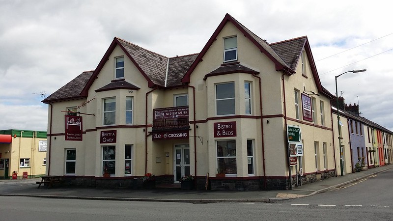
Sheer desire to get the walk over with got me quite fast along the country lane, I turned left to head straight for Llandovery, the outskirts of which were now in sight. A bit more walking through the centre brought me to the station and opposite it, The Level Crossing bunkhouse where I’d booked a bed for the night.
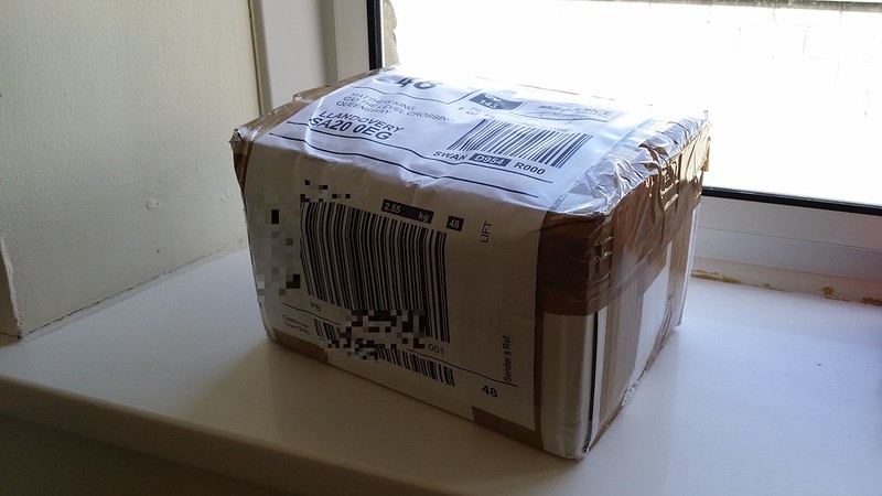
I picked my parcel up, had a shower and headed into town for some dinner. Despite waiting ages to get served, I had a really good steak.
Tuesday 15 July – A Quandary
The only question now was what to do next. I’d walked into Llandovery with nothing left and no desire to carry on. The weather forecast for the next few days was problematic – horrific storms at the weekend, but fine up until then. In my current condition I reckoned I’d need more days to get to the next sensible stopping point at Devil’s Bridge, and by then I’d be overtaken by the weather. Last night I’d already realised that I wouldn’t make it the 15 miles to the hostel at Ty’n-cornel the next day, and had cancelled it. I’d lain awake for ages with the arguments for and against continuing spinning around my head, but the bottom line was I’d had enough. If it had only been a couple more days that I could have stretched to 3 or 4 by taking it easy, that would have been fine, but effectively by continuing I was committing to another week’s worth. I just didn’t have that much more walking in me at this time.
Even as I crossed the road to the station and waited for the train, doubts kept floating through my mind – was I doing the right thing ? It was quite a nice day, and I didn’t now feel any worse than a hard day on, say, the SWCP, after which I could usually do it all again. I was still making my mind up as I bought a ticket on the train and committed to a course of action. The central section of the Cambrian Way would have to wait for another time.
Dear Hillplodder,
The meaning of the German sign can be found on:
http://www.fc-koeln.de/
A German football club based in Cologne.
Regards
Sharon
LikeLike
Ah, thanks. probably not the most appropriate sign for the top of a mountain then.
LikeLike
Decisions inevitably have to be made on any trek, and in the end you just have to think things through and be content with what you decide 🙂
LikeLike
Indeed, and I worked hard in the aftermath of this one to tell myself that what I did made the most logistical sense – it makes a lot more sense to do the next bit as a separate trip in one go, rather than split it. But ultimately I knew that carrying on would probably leave me bailing out partway through in a really inconvenient place. Essentially it was an all or nothing choice, and I couldn’t pick all, so had to pick nothing.
LikeLike
Fuzion chilli is amazing! Never tried the chocolate pudding but avoid the all day breakfast. A tough but certainly correct decision.
LikeLike
Not a fan of any of the all day breakfasts – I don’t like my fry up all mixed together. I still have another two rice puddings to get through as it sounded so nice I bought 3!!
LikeLike
What is it about Mid Wales? The lack of phone signal/internet is astonishing in 2014. I had my own mini-meltdown in Llandovery back in June… the proximity of the railway station doesn’t help either. We too spent a night at The Level Crossing but the weather was on our side so we did continue the following day in a southerly direction. Really enjoying your blog, by the way.
LikeLike
I think part of the problem was that every day of the trip involved some form of struggle – to find water, to find my way, to recover ground etc. So I’d simply had enough by the time I got to Llandovery.
LikeLike